
Summary – day 08 – Florence to Port Orford (Friday 2 September)
Posted by Mike
Estimate: 98.6 miles, actual: 103 miles
Avg. speed: 15.7 mph – not bad, given the wind
Cumulative distance: 631.49 miles
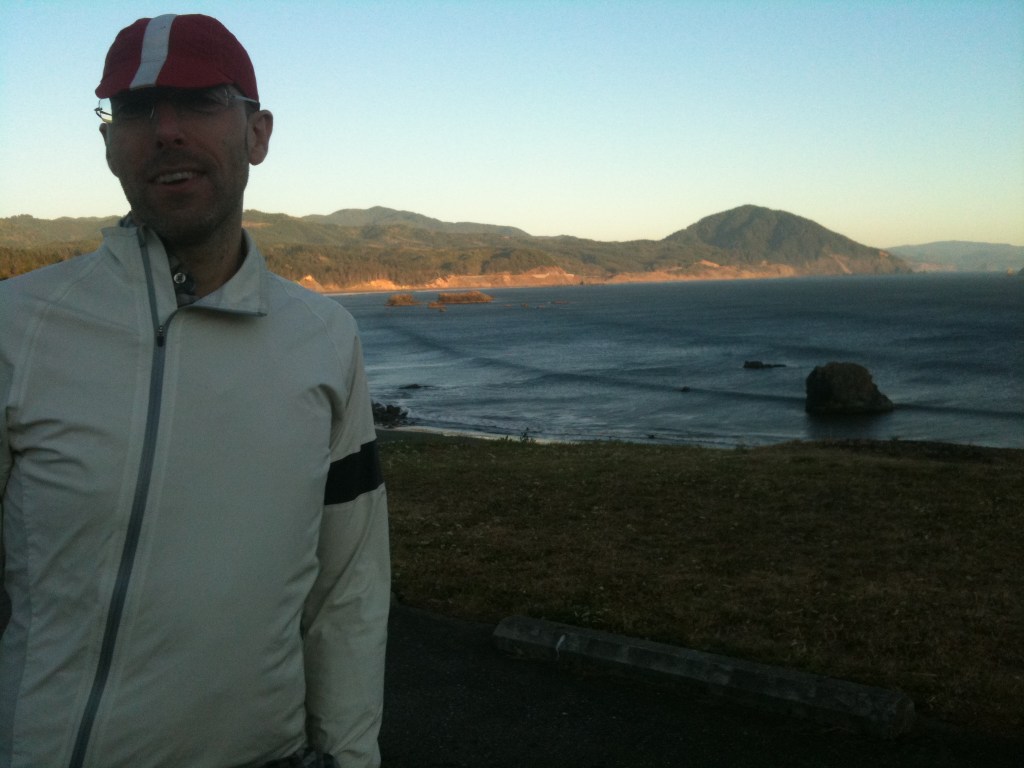
Our hotel in Florence, the River Inn had a lovely breakfast room – with two big round electric waffle machines, alongside there was even an automatic batter dispenser! Matthew couldn’t resist and set about making two, (then ate one and three-quarters, I can’t think what happened to the other quarter!). Otherwise Captain Sensible (that’s me), had oats and toast for breakfast.
While we were having breakfast, I sat and pondered the Dilemma of the Day: short and horrible or long and nice? Now when faced with that sort of decision, what’s a cycling boy to do? Actually, this sort of dilemma must be resolved by touring cyclists all the time; shorter, flatter, faster routes are inevitably on roads that are ugly and choked with traffic, while the nicer, quieter routes are usually further. We were dealing with dilemma because Mr. Garmin was having an off day, (quite literally – when I realised that he wanted to send us on a 200 mile trip to cover the estimated 98 miles from Florence to Port Orford I turned off Garmin routing). I probably looked a bit odd sat in the Riverside Inn breakfast room, dressed in Lycra cycling shorts and poring over maps and web pages on an iPad AND an iPhone. Yes, we have an iPad with us, as well as our phones.
This might be an appropriate point for me to eat a little bit of humble pie, as I didn’t want Matthew to bring the iPad. In fact, I may have said that bringing an iPad was ‘ridiculous.’ Any of you who are reading this that know me well (“Hi Mom”), will know that I tend to take the view that I’m always right. However, very rarely and occasionally I might be misinformed about something and in consequence discover that someone else is responsible for my making a mistake. So I am usually prepared to concede, that while I may not always right – I am never wrong! It’s taken Matthew quite a while to accommodate himself to this fact, but after 17 years of extra-marital bliss, he has more or less learned that trying to argue with me is futile. It is therefore extremely difficult for me to suggest that bringing the iPad might, just, possibly, maybe, have been quite a good idea. We’ve watched movies on it, checked emails on it, faffed about on the blog with it, found out a little about some of places that we’re visiting on it and sorted out some of our route dilemmas on it. We could do all those things on the iPhone, of course, but it’s easer with a bigger screen and being able to compare two pieces of routing information on a phone and a pad is really useful. So there you are, I admit it – bringing the iPad might have been a good idea!
Unsurprisingly, we decided to take the long and nice route. Essentially following the well-marked Oregon Coast Cycle Route.
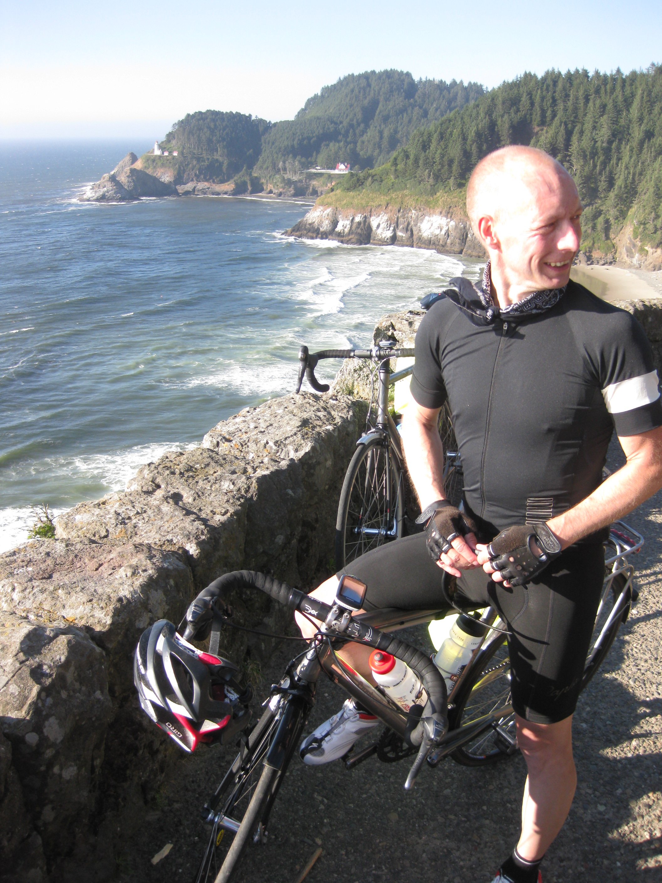
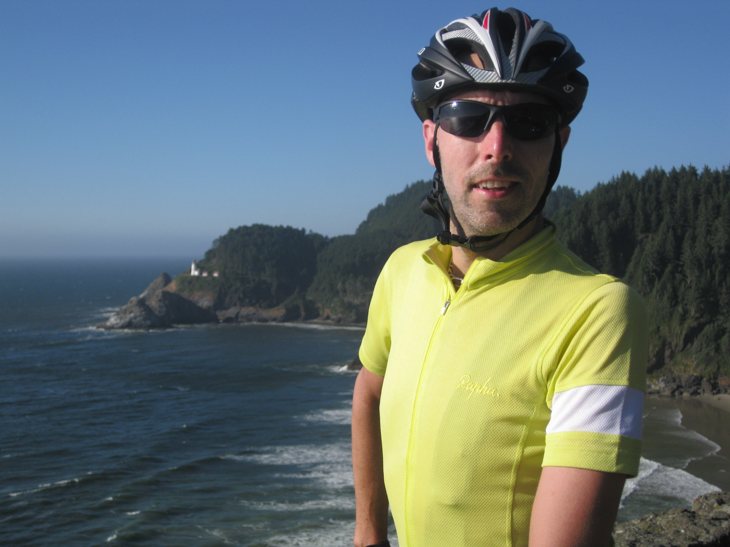


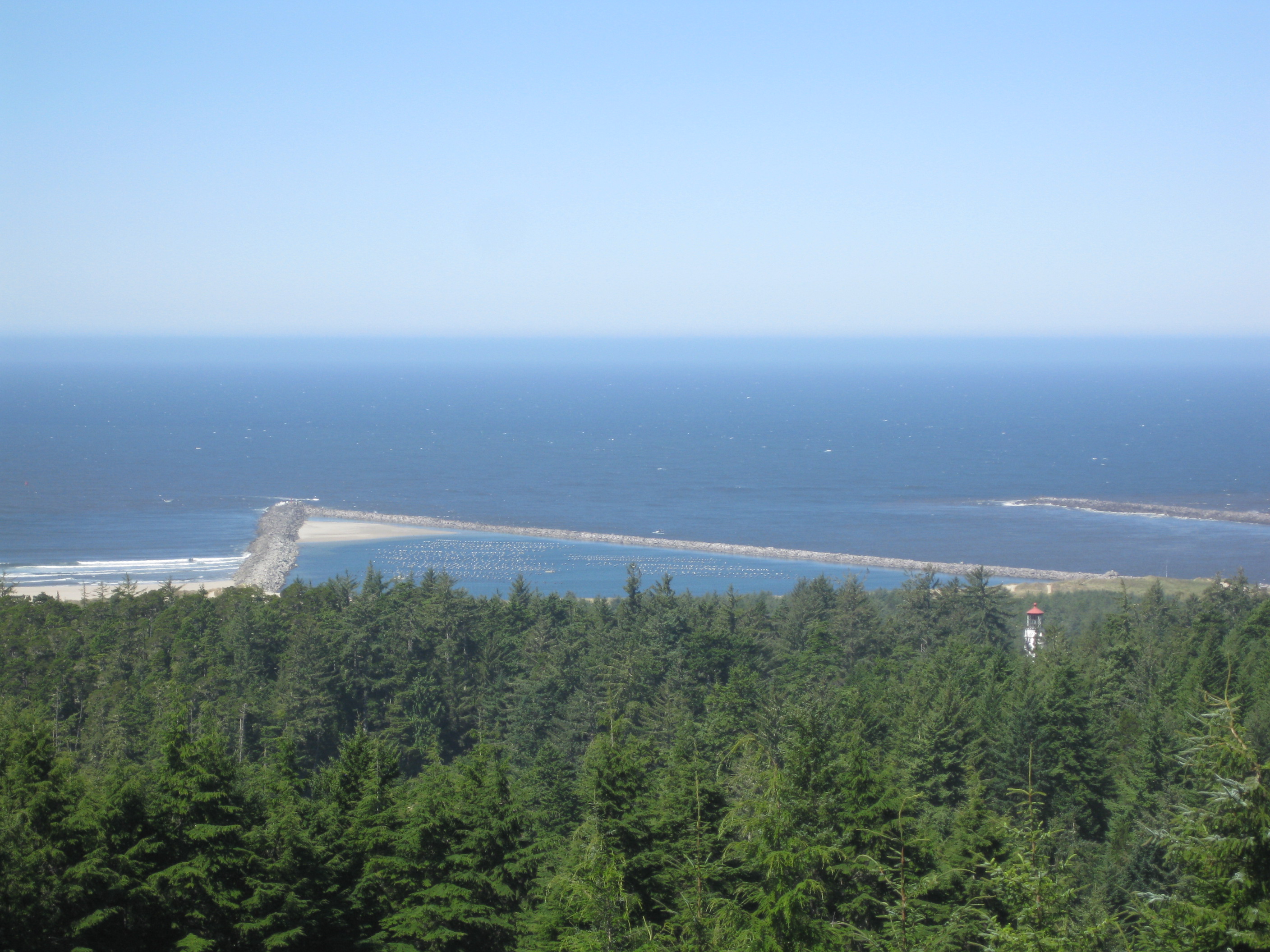
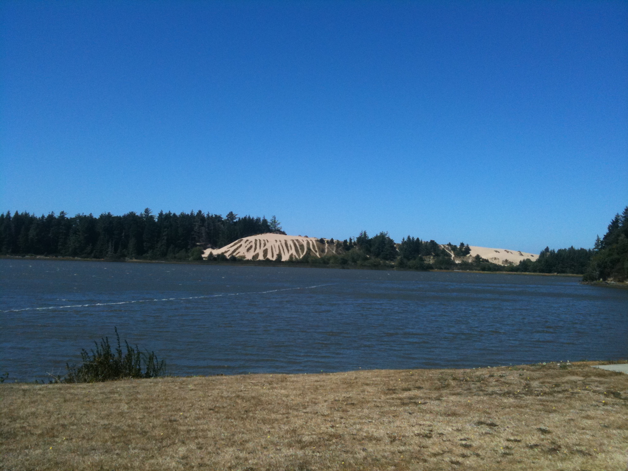
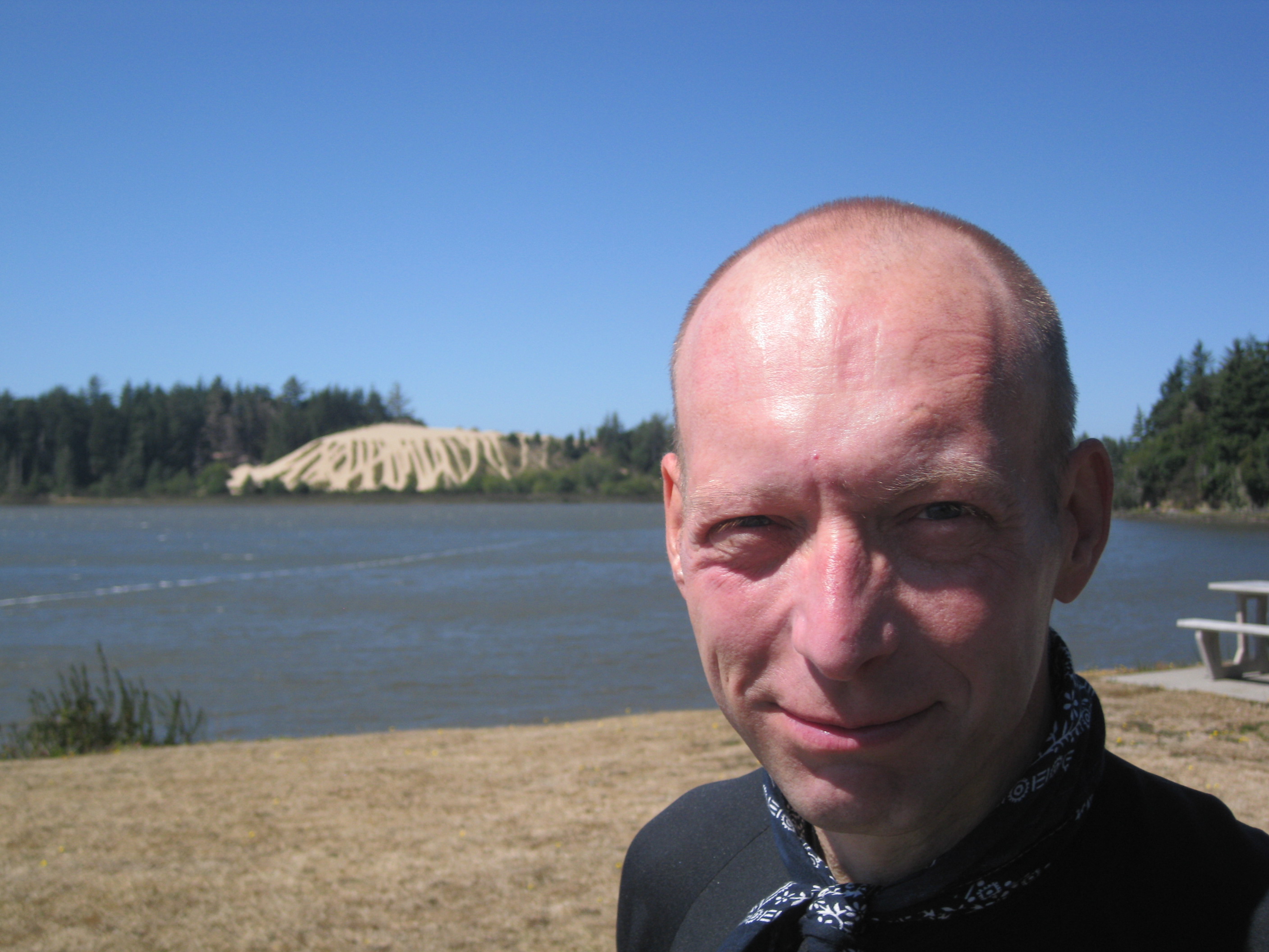
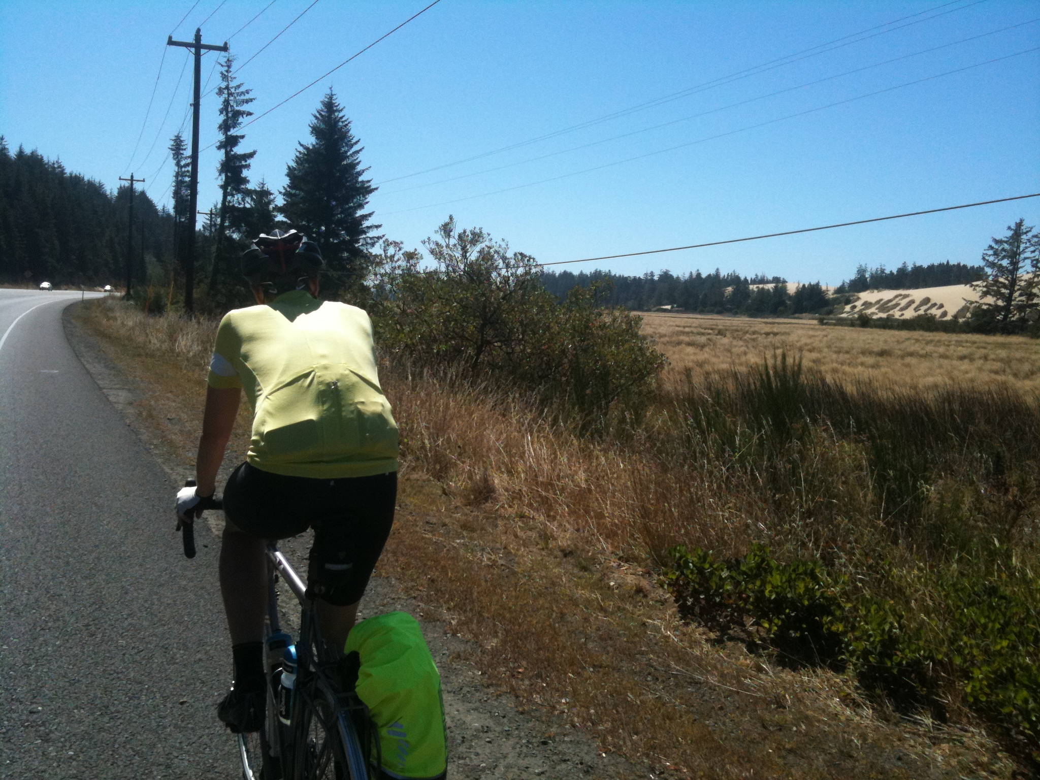
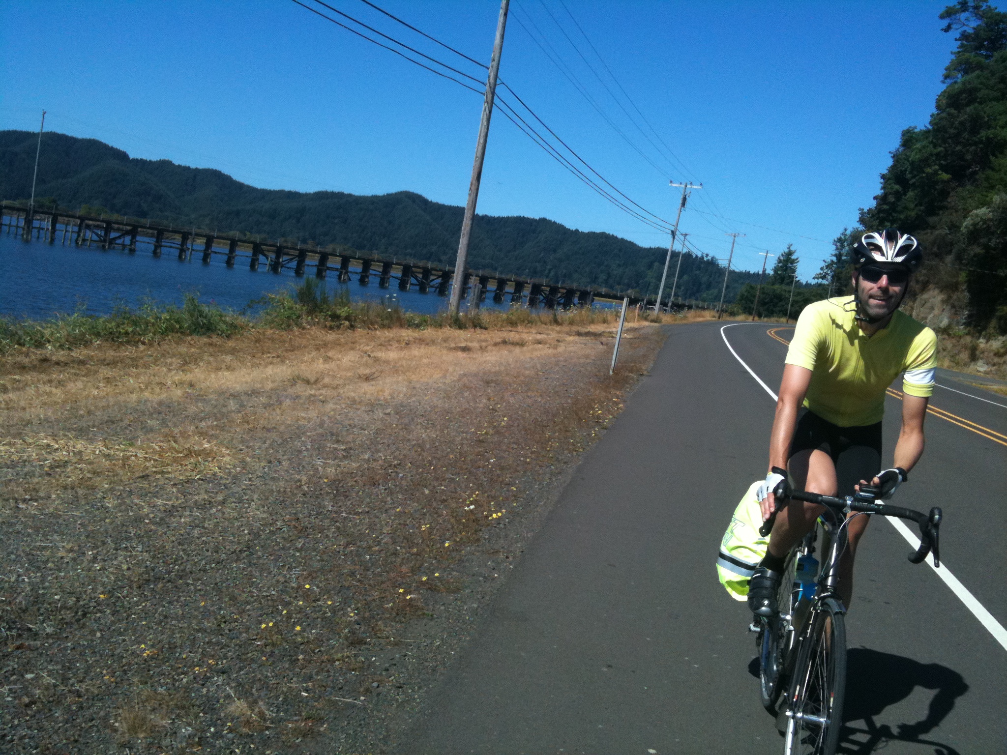
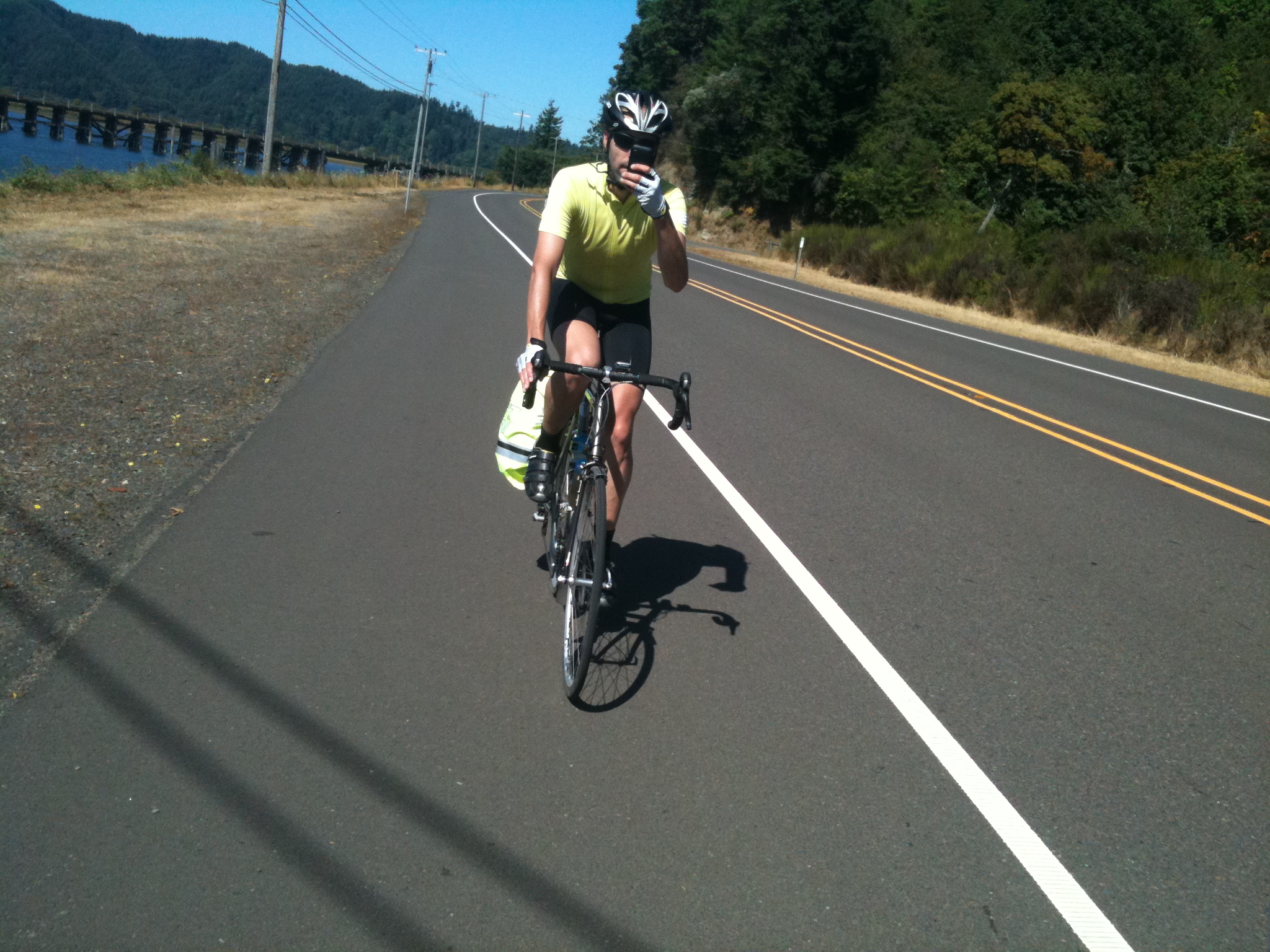
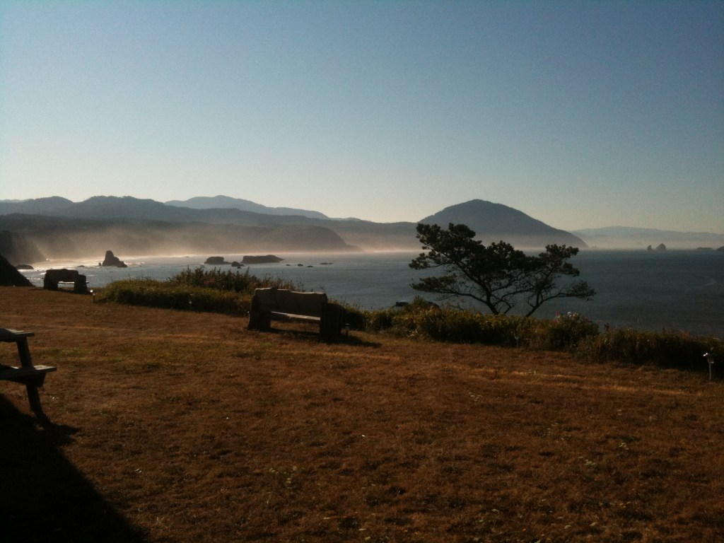
In the morning this route took us through the Oregon Dunes. I sometimes find that as an Englishman in America, I run out of superlatives to describe the things that I see … so much is beautiful, amazing, the most, the biggest, etc. Well the Oregon Dunes are difficult to describe – they’re huge! They must stretch for at least 40 miles and sometimes occupy a really wide area. They’re the biggest sand dunes that I think I’ve ever seen … some are 150 meters (500 ft) high (and I write as someone who’s been to the Sahara!) Occasionally a dune spills into the road and it was necessary for us to slowly negotiate our way around the massive drifts of sand spilling across the carriageway. The dunes are a popular attraction, and we could often hear the buzz of quad bikes in the distance. As well as towing boats, lots of cars here were towing trailers with fancy-looking quad bikes in them. Between the dunes, the roads were tree-lined with pines and there were quite a few inland lakes, making for a very pleasant morning’s ride.


We passed a couple of touring cyclists, who were very heavily loaded. She was pulling a little single-wheeled Bob trailer with their camping gear in it, while he was carrying two panniers at the front as well as two on the rear. They were from North Carolina and had taken 9 Greyhound buses to the start of their cycle trip in north Washington. It had cost them only $100 and they said that they’d seen lots of drop-outs en route! She was planning on returning to college to train as an art teacher and he had just finished college, he was a sociology major – yay! We cycled away from them, (they were going quite slowly and aiming for Coos Bay that night – Matthew said, “Oh, we’re heading there for lunch!” Ouch!) Afterwards Mike remarked, “A sociologist on a bicycle? Result!” Matthew replied rather sardonically: “Oh, that? They’re everywhere.”
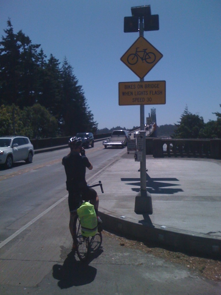
Just before North Bend a huge inlet fed by the Coos River is crossed by Super Scary Bridge #3: the Conde B. McCullough Memorial Bridge. This bridge is 242 m (793 ft) long and is about 50 m (150 ft) above the water. The main bridge is connected to the land at each end by a series of high arched sections that make the whole thing over 500 m (1700 ft) long.


I find these bridges so scary for all the usual reasons, they’re extremely high up, but also because either the balustrades seem to be so low, (compared to those on European bridges) and because we are forced by traffic into cycling very close to the edge. It’s very easy to imagine coming off the bicycle and falling over the balustrade off the bridge, (well, I find this easy to imagine!). Roads usually narrow on bridges and either there is no sidewalk, or it’s very narrow too. This all means that there’s not much room for vehicles to pass in both directions and drivers don’t seem to slow down on the bridges. I’m reminded of what happened to poor Johnny Hoogerland and Antonia Flecha in this year’s Tour de France – a car nudged them as it tried to pass and sent them flying – Hoogerland went into barbed wire fence – it was horrible. If you want to see it for yourself, go here:
The Conde B. McCullough Memorial Bridge has a button at each end for cyclists to press, a bit like the one at the tunnel outside of Florence. The button sets off big flashing orange lights and reduces the speed limit on the bridge to (a still too fast) 35 mph. There are big signs for drivers warning of cyclists in the roadway. We approached the bridge rather nervously and pressed the button. To our surprise, delight and amazement a driver behind us in a big Winnebago slowed down to our cycling speed and kept well behind us all the way across the bridge. I wanted to hug him – and my ardour increased even more when we heard horns sounding from some frustrated drivers behind him who couldn’t see that we were on front – he just ignored them. When we came off the bridge we pulled over to wave to the driver and gave thumbs up signs. As the line of traffic streamed past us someone in a red car yelled some abuse about #*<$¥+•! bikes on the bridge. That spoiled things a little – cyclists are explicitly allowed on the bridge, it’s part of a state-wide official bicycle route and the next bridge upstream was miles away.
The wind was blowing an absolute gale around North Bend, so we decided to take a break and headed to Safeway’s for lunch. I’ve been trying to work out why this particular supermarket has more or less become our second home on this holiday. I don’t think it’s because Safeway’s is like Waitrose, as Matthew has suggested – that’s just silly. It’s more that they’re pretty ubiquitous, fairly reliable, not expensive, usually have free wi-fi and that we can buy food in small-ish quantities.
While Matthew was picking up our freshly-made sandwiches from April who was working on the counter, she told him that her father is a State patrolman and that they’ve been clamping down heavily and fining people for speeding on the bridge. Good. There’s a sweary man in a red car out there just itching to be caught!
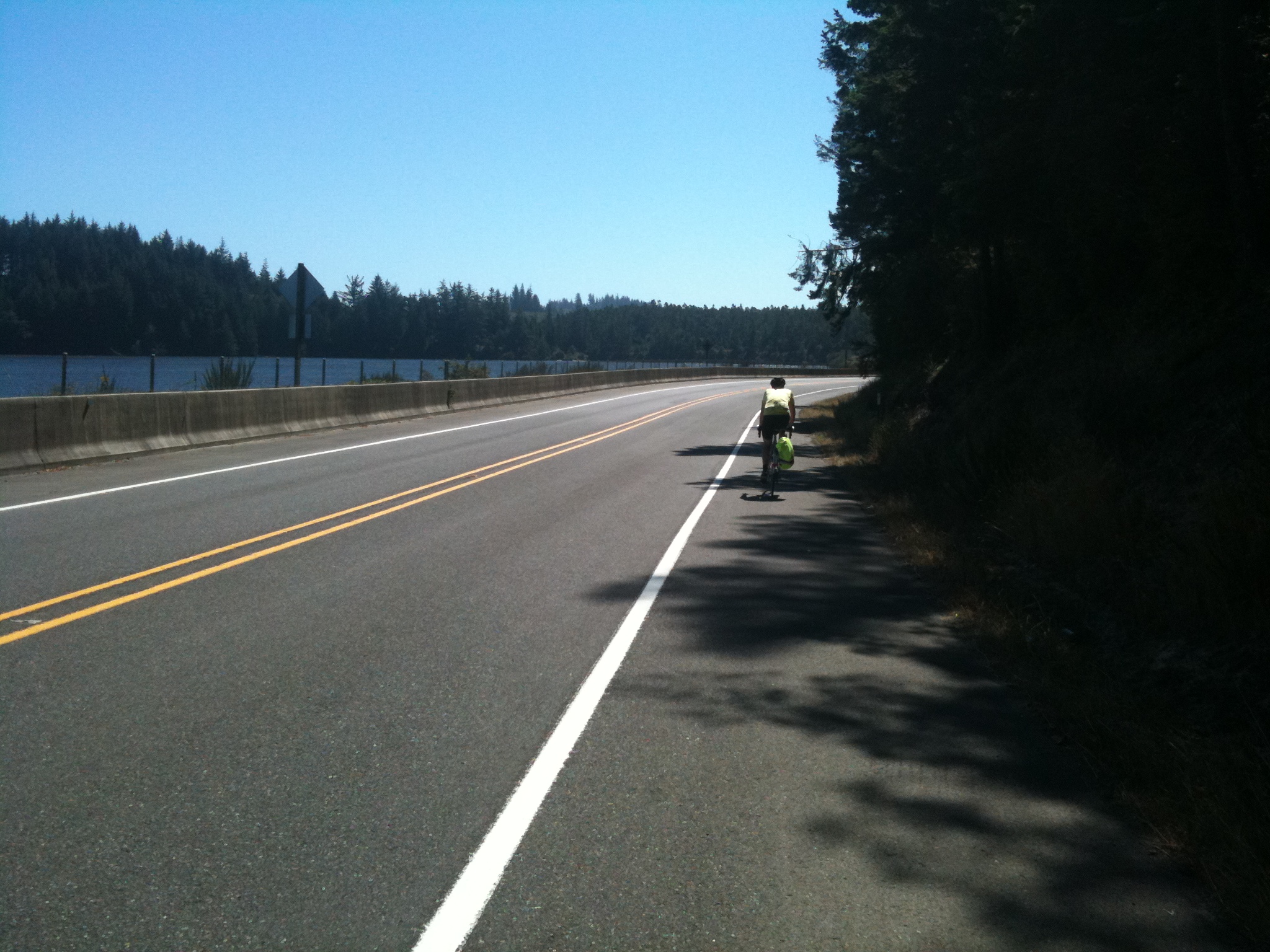
After lunch we continued south on much quieter roads – it’s amazing how soon off the main highways the traffic dwindles to virtually nothing. Barview then Charleston – small hard-working fishing towns by the looks of them. Not especially prosperous. In Charleston we rode past several huge piles of shells. There was a very strong smell of off-fish – yuk. Once away from Charleston the road pitched up and there was lots of climbing through wooded hills for a while. Spectacular views for miles from high up – but the wind has been a real trial today – coming at us from the west, (our right and in front of us), gusting so hard that causes our bicycles to wobble a bit alarmingly sometimes. Matthew almost ran over a squirrel on the West Beaver Hill Road, it ran out in front of him from the grass on the verge, stopped in front of him, seemed to do a little dance as it wasn’t certain which way to go next, then it jumped back into the undergrowth. We wondered if there was a squirrel equivalent of the children’s ‘chicken’ game being played!


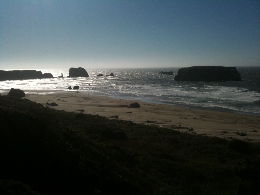
On to Bandon, a beautiful little seaside town, with some very nice modern housing developments on a high cliff overlooking the sea. Through Langlois, a place-name that sounds a bit Welsh to me – but perhaps it isn’t. Then a tiny little town called Denmark, (a hilarious name) and on into Port Orford down a long straight descent, (which I was grateful for after all that climbing and buffeting by the wind).
I was rather looking forward to Port Orford, it sounded like it would be nice. Orford and Orford Ness on the Suffolk coast are beautiful … so it seemed to follow logically that Port Orford would be nice too. Unfortunately it’s a complete dump, a five lane highway runs through the centre of town and I saw lots of houses for sale. Shops are boarded up and there didn’t seem to be much going on.
We stayed in a hotel called Castaway-by-the-Sea, another romantic-sounding place. The sea views are wonderful, but the place is horrid – black mould on the walls in the bathroom, a hook coming out of the ceiling – perhaps someone hung themselves when they saw the mould? And strange notices forbidding the cooking of crab in the room! (This is doubly odd, as the room doesn’t even have any cooking facilities!).


The most famous eatery in town is the Crazy Norwegian’s Fish & Chips Shop – but there wasn’t much there for vegetarians, so we walked for ages into a headwind to find somewhere to eat. Everywhere seemed to be closing up for the day, so we had to act fast – always a mistake! We went into a diner. It smelled quite strongly of disinfectant. The seats were sagging and the black vinyl covers were all patched with lengths of black electrical tape. There was lots if fish, clams, crab etc on the menu … I asked if I could have a plain omelette with French fries and our waitress looked doubtful. ‘That’s on the breakfast menu and we don’t have the breakfast chef in right now, but I can go and ask’. She asked and the ‘not breakfast chef’ said he couldn’t make an omelette, so the answer was no! I’ve never heard of a chef, (breakfast or any other kind who couldn’t make an omelette – so there’s a first! We ended up with giant pizzas and walked back to the hotel in the dark.
The stars looked wonderful at least.

I’m really enjoying the tales of your adventures from the road. I particularly liked the explanation about never being wrong, I can imagine the face that Matthew was pulling for that one! Made me laugh a lot. I must say you both look very stylish, but really, would I expect anything less?
LikeLike